The Shipping Forecast Project
The Shipping Forecast Project is now open until 31 March 2024, and it aims to capture the sea and coastline of the seventeen sea areas around Great Britain, Northern Ireland and the Republic of Ireland.
Participants can submit up to four images, which can be taken from one location over four seasons, four different locations or some other combination.

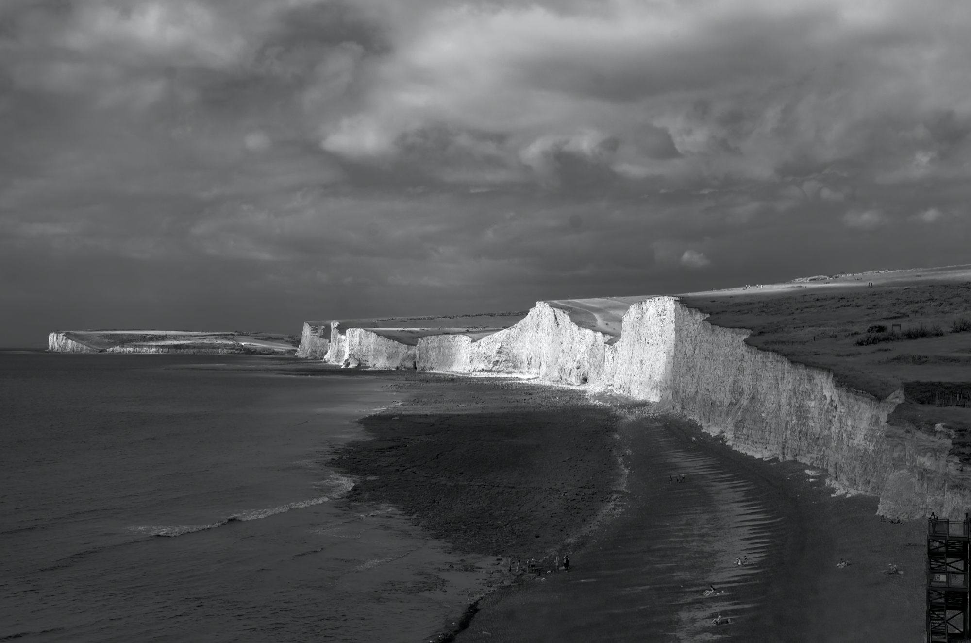
Seven Sisters © Derek Winsor LRPS
Images must be taken from a coastal location and include the sea in all or part of the frame. Various image types are allowed, including colour, black and white, infrared, ICM and drone images.
Participants must firstly register using the supplied link.
Registration only needs to be done once, this will allow us to stay in contact over the course of the project with any updates. Then, for each image, record the latitude and longitude and select the equivalent sea area as shown in the supplied map. Optional but recommended are documenting the shipping forecast entry for the sea area on the day the image was taken and documenting the observed weather and sea conditions.

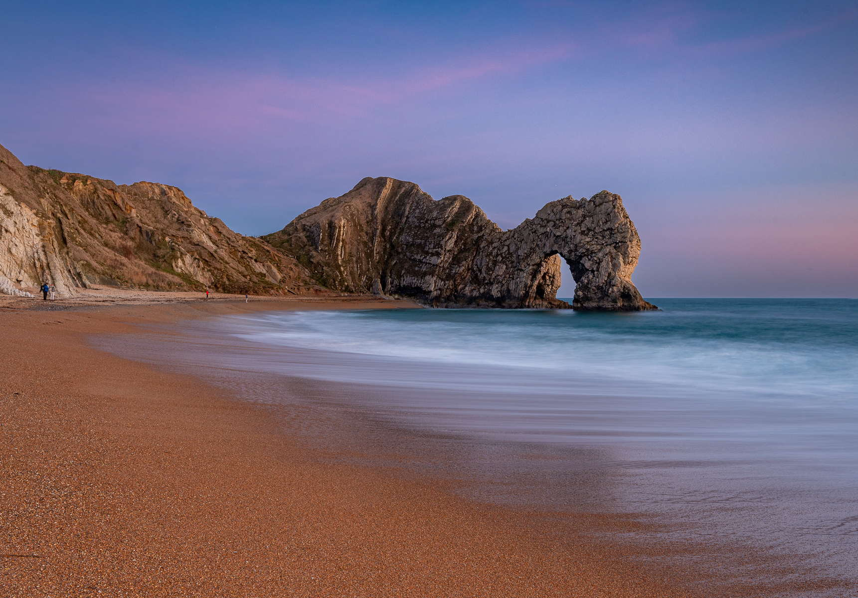
Durdle Door Sunset © Atul Khirsager LRPS
There is no advantage to waiting until towards the end of the project so you can register now and start submitting your images immediately. Selected images will be displayed in a web gallery after the project finishes, and the project hopes to receive good coverage of all seventeen sea areas. We’re looking forward to seeing your images, so register now to ensure that you receive all project updates.
You can find full details of the project on the webpage, https://rps.org/groups/landscape/projects/the-shipping-forecast-project/.
If you have a question, please contact the Project Manager Colin Balfour on landscape@rps.org
The Shipping Forecast is a project organised by the RPS Landscape Group.
The images that appear in this article were submitted to the RPS Landscape Group's Monthly competition held in February 2022, copyright remains with the photographer


